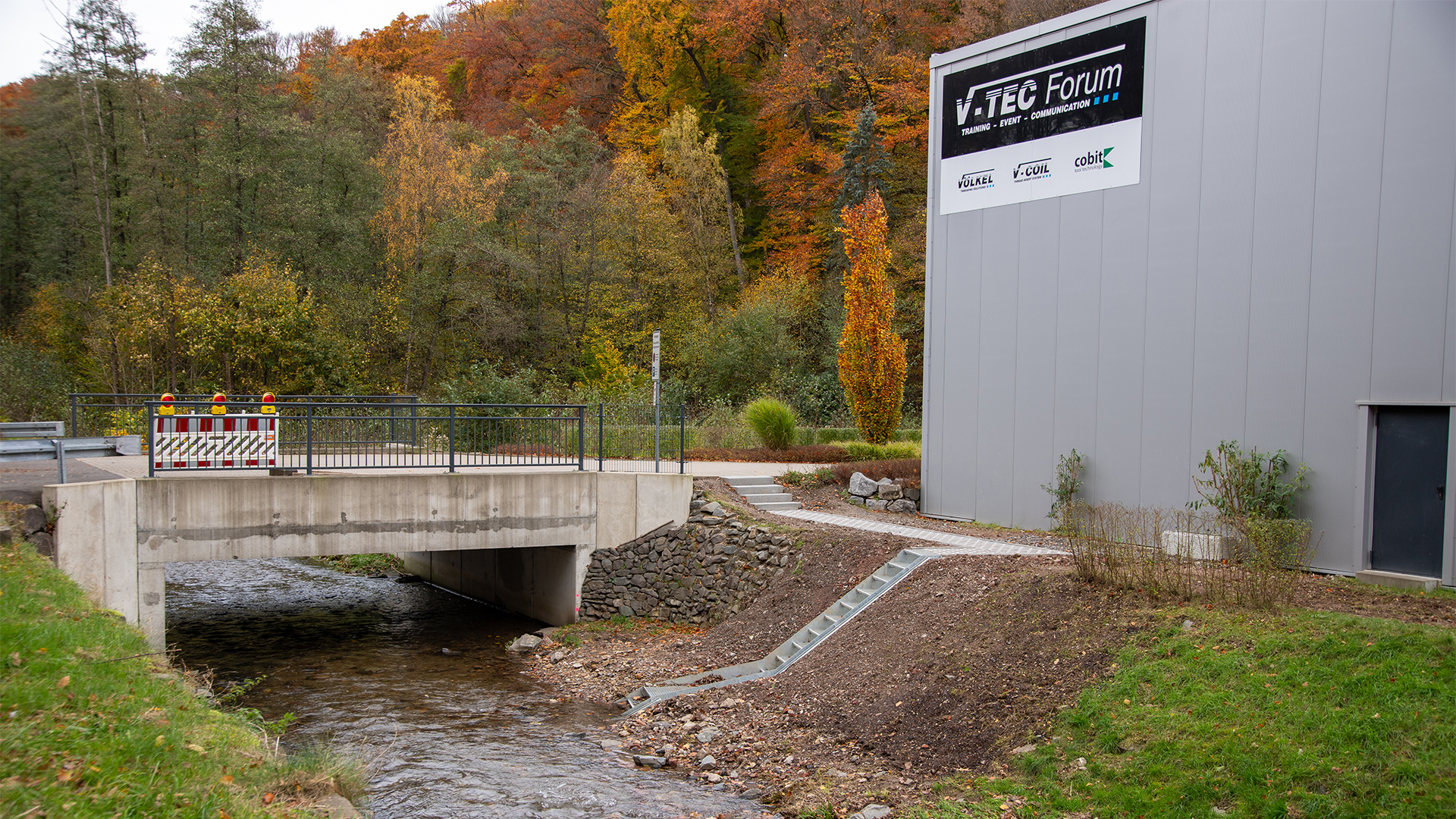
Water level monitoring station at the Morsbach is live
The water level monitoring station at the Morsbach has been completed and is officially in operation. This marks the final important step in the project: the staff gauge has been installed, the water level can be read directly on site and the latest measurement data can be accessed digitally. We have also integrated the water level data into the Environmental Management section of our VÖLKEL website.
“No system can prevent flooding. However, we hope that the water level monitoring station will help people assess changes at an early stage and reduce the risk of damage like that caused by the 2021 flood disaster.”
Embedded Instagram Reel:
The final step: the staff gauge has been installed
The foundation, access and steel structure had already been completed. This was followed by the installation and calibration of the measurement technology. With the staff gauge now in place, the final directly visible component of the station has also been added.
The water level of the Morsbach can now be monitored in two ways: directly on site using the staff gauge and digitally via the continuously recorded measurement data.
What was still a construction site along the stream a few months ago has now become a functioning monitoring point. On our Environmental Management page, we had already documented the individual stages of the project: from the foundation and steel structure to the installation of the measurement technology itself.
Why current water level data is important for the Morsbach valley
The flood disaster of 14 July 2021 clearly demonstrated how important information about changes in water levels can be. At the time, the Morsbach burst its banks in numerous places. Roads, bridges, businesses and private buildings in the valley were affected.
Although our own operations were largely spared, we witnessed the effects directly on our doorstep.
Even before 2021, the Morsbach was restored to a more natural state and widened on our company premises in cooperation with the state of North Rhine-Westphalia. This gave the stream more space. The water level monitoring station is another building block in helping us observe the Morsbach and the changes it undergoes more effectively.
The crucial difference compared with the start of the project: Current measurement data is now actually available.
Where can the current water level of the Morsbach be accessed?
The measurement data is recorded digitally and made available through the LANUV NRW system. Current hydrological measurement data is publicly accessible via the NRW Flood Portal.
We have also integrated direct access to the current water level data into the Environmental Management section of our VÖLKEL website.
This allows local residents, businesses and anyone travelling through the Morsbach valley to check the latest development of the water level at any time.
View current Morsbach water level data
Particularly during prolonged or heavy rainfall, this makes it easier to follow and assess the development of the water level.
From construction site to live system
Commissioning marks the completion of a project that we have documented publicly from the outset.
The route to the finished system involved several stages:
- The foundation and access were constructed.
- The steel structure at the Morsbach was installed.
- The technical infrastructure was installed.
- The measurement technology was calibrated and tested.
- The staff gauge was fitted.
- The monitoring station entered regular operation and the data was made publicly available.
This has transformed the original idea of an additional precautionary measure into a functioning system.
What the water level monitoring station can and cannot do
One thing is important to us: a water level monitoring station cannot prevent flooding.
However, it can provide information.
That is precisely where its value lies. Instead of relying solely on a subjective impression of the stream, changes in the water level can be tracked using current measurement data. Particularly during heavy or prolonged rainfall, this data can help people assess changes more effectively.
The monitoring station is therefore not intended to suggest a level of safety that cannot exist during extreme weather events. Rather, it provides an additional source of information for residents, businesses and the responsible authorities in the Morsbach valley.
A project for our site and the Morsbach valley
The Morsbach runs directly alongside and partly through our company premises. Its development therefore affects us directly. At the same time, we believe that responsibility for a location does not end at the factory gate.
The water level monitoring station was created in cooperation with LANUV NRW and is intended to provide information that benefits more than just VÖLKEL. From the start of the project, our aim was to make the measurement data publicly accessible. That goal has now been achieved.
For us, this brings the project full circle: The water level monitoring station at the Morsbach is complete, the staff gauge is in place and the system is live.
And a construction project has become something intended to remain for the long term: an information source on the water level of the Morsbach that can be accessed at any time.